Set of Plans and Forts in America: Difference between revisions
Jump to navigation
Jump to search
No edit summary |
No edit summary |
||
| Line 20: | Line 20: | ||
}} | }} | ||
London: Published according to act of Parliament, by Mary Ann Rocque topographer to His Royal Highness the Duke of Gloucester, in the Strand, 1765. | London: Published according to act of Parliament, by Mary Ann Rocque topographer to His Royal Highness the Duke of Gloucester, in the Strand, 1765. | ||
==Evidence for Inclusion in Wythe's Library== | |||
==References== | |||
==External Links== | |||
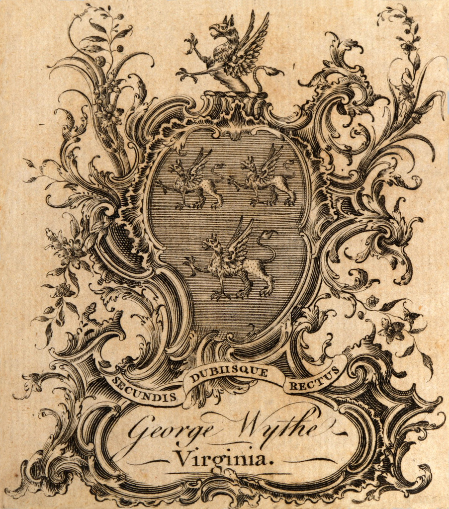
See book plate in: [https://books.google.com/books?id=Ps2JNQAACAAJ&dq=A+Set+of+Plans+and+Forts+in+America,+Reduced+from+Actual+Surveys+by+John+Rocque+1765 Google Books] Note: Possible edition. | |||
[[Category:Mathematics and Engineering]] | [[Category:Mathematics and Engineering]] | ||
[[Category:Titles in Wythe's Library]] | [[Category:Titles in Wythe's Library]] | ||
Revision as of 19:04, 9 February 2015
A Set of Plans and Forts in America, Reduced from Actual Surveys
by John Rocque
| A Set of Plans and Forts in America | ||
 at the College of William & Mary. |
||
| Author | John Rocque | |
| Published | London: Mary Ann Rocque | |
| Date | 1765 | |
London: Published according to act of Parliament, by Mary Ann Rocque topographer to His Royal Highness the Duke of Gloucester, in the Strand, 1765.
Evidence for Inclusion in Wythe's Library
References
External Links
See book plate in: Google Books Note: Possible edition.